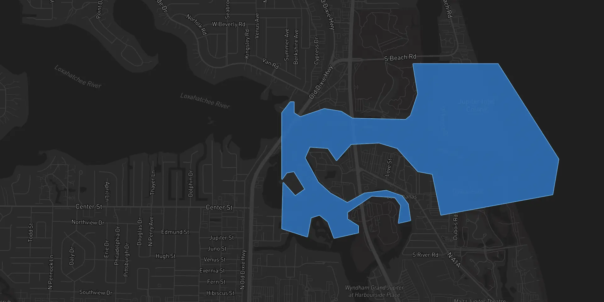
Fishing Jupiter Inlet
Jupiter Inlet is a saltwater inlet in Palm Beach County, Florida, about 409 acres. Cobia anglers have logged jack crevalle, common snook and mangrove snapper and 36 more species here. Cobia reads the tide, wind and water temperature here every day and tells you when to be on it.


Jupiter Inlet water today
Water level on Jupiter Inlet was 0.0 ft at 2:15 AM, from USGS gauge 02277744 (Loxahatchee Rv 500 Ft Ds of Us-1 at Jupiter, FL). Water temperature on Jupiter Inlet was 78°F at 2:15 AM, from USGS gauge 02277744 (Loxahatchee Rv 500 Ft Ds of Us-1 at Jupiter, FL).
Times are local. Read from USGS gauge 02277744, which sits on Jupiter Inlet. The app adds wind, pressure, the solunar windows and a score for the day.
Best time to fish Jupiter Inlet
The months Cobia anglers have logged the most of each fish on Jupiter Inlet since November 2025. That is less than a year of catches, so it is not a season yet. This page will name one once a full year is in.
- Lane snapperApril, May and June
- Mangrove snapperApril and June
- Irish pompanoMarch, April and June
- PorkfishMarch and June
Fish in Jupiter Inlet
Cobia anglers have logged 39 species on Jupiter Inlet. In all, 100+ catches are logged here, the latest in the last few months. Each one opens its Fishdex profile.

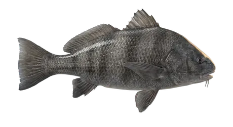


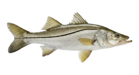


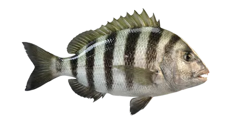


Also logged here, Gafftopsail Catfish, Bighead Searobin, Blue Runner, Bluefish, Bluestriped Grunt, Checkered Puffer, Dusky Damselfish, French Grunt, Hairy Blenny, Hardhead Catfish, Irish Pompano, Jack Crevalle, Ladyfish, Lookdown, Pigfish, Pinfish, Porkfish, Redfin Parrotfish, Sailor's Choice, Schoolmaster Snapper, Sergeant Major, Smallmouth Grunt, Spottail Pinfish, Striped Mullet, Tomtate Grunt, White Mullet, Yellowfin Mojarra.
Jupiter Inlet at a glance
- Type
- Inlet
- Water
- Saltwater
- Where
- Palm Beach County, Florida
- Size
- About 409 acres
- Center
- 26.9458, -80.0770
The Jupiter Inlet Slam
A free Slam on this water. Log Verified catches of Atlantic tarpon, common snook, mangrove snapper and jack crevalle and climb a live board. Every catch is checked the moment it is shot in the Cobia Camera, so there is no judge and no weigh-in.
Plan the trip before you launch
Daily briefing
A score for the day out of 100, with the reasons, the best windows and a seven day lookahead.
Read moreTides and solunar
NOAA tide curves and the solunar feeding windows, side by side for the day you pick.
Read moreWater conditions
Water temperature, waves, flow and clarity from the station nearest the water you fish.
Read moreJupiter Inlet questions anglers ask
Water level on Jupiter Inlet was 0.0 ft at 2:15 AM, from USGS gauge 02277744 (Loxahatchee Rv 500 Ft Ds of Us-1 at Jupiter, FL).
Since November 2025, Cobia anglers have logged the most lane snapper here in April, May and June. Since November 2025, Cobia anglers have logged the most mangrove snapper here in April and June. Since November 2025, Cobia anglers have logged the most irish pompano here in March, April and June. Since November 2025, Cobia anglers have logged the most porkfish here in March and June.
Cobia anglers have logged jack crevalle, common snook, mangrove snapper and bluefish and 35 more species in Jupiter Inlet. The list is built from logged catches, and it grows as more come in.
Jupiter Inlet is salt water.
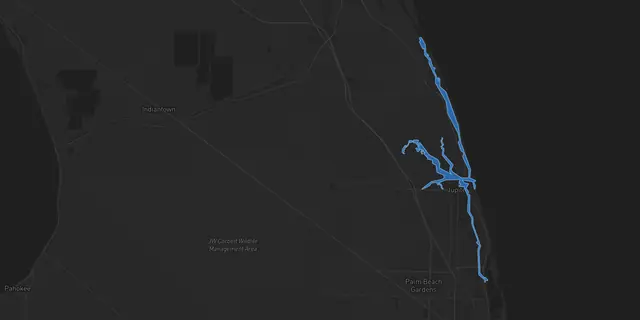
Jupiter Inlet is an inlet in Palm Beach County, Florida, centered near 26.9458, -80.0770.
Cobia reads tide predictions for Jupiter Inlet from NOAA tide station 8722548, then lines them up with the wind, the weather and the solunar windows in the daily briefing.
Yes. The Jupiter Inlet Slam is a free Slam run by Cobia on this water. Catches count when they are shot live in the Cobia Camera, and the board updates as they come in.
Not the exact spots. Each angler chooses whether a catch shares the exact spot, a general area or just the name of the water, and no paid tier shows anyone more. Pages like this one show the species and a rounded count, never a spot.
They depend on the species and the season. When you log a catch, Cobia names the species from the photo and shows the slot limit, bag limit and season for that species where you are standing.
Fish Jupiter Inlet with a plan
Set Jupiter Inlet as home water and wake up to the tide, the wind and the best window, scored for the day.
iPhone with iOS 17 or later, or Android 8.0 or later. Setup takes about a minute.
Map data © Mapbox © OpenStreetMap contributors. Tide and water data from NOAA and USGS.