Habitat layers
Inshore fishing is habitat fishing. A grass edge, a scattered bar, a sand hole in the middle of a flat. These are the addresses fish actually live at, and they are mapped.

Seagrass beds and oyster bars, drawn where the survey put them
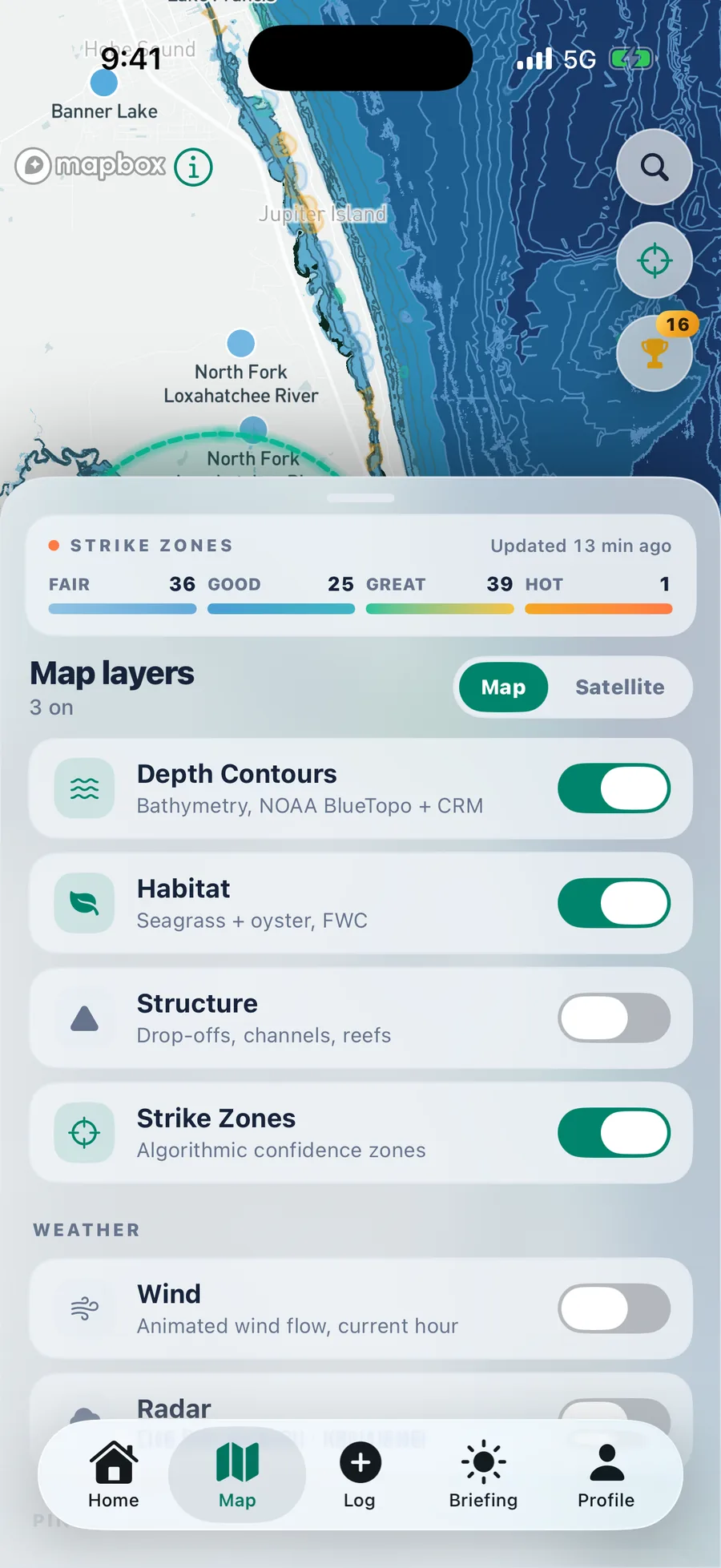
Toggle habitat on and the flats stop being a blank blue field. Seagrass polygons and oyster bar footprints appear from FWC survey data, so you can plan a drift along an edge instead of guessing at one.
- Seagrass beds rendered as mapped polygons with a defined edge
- Oyster bars shown with their own footprint and outline
- Stacks with depth so you can find grass on the right contour
- Free, like every other map layer except Strike Zones
What grass and shell are actually doing
Grass holds bait
Seagrass is nursery habitat. Shrimp, crabs, and juvenile baitfish live in it, and everything that eats them patrols the edge of it.
Edges beat middles
The productive cast is almost never into the middle of a bed. It is along the edge where grass meets sand, or into a pothole inside it.
Bars break current
An oyster bar creates an eddy on the down current side. On a moving tide that eddy is an ambush point that reloads every cycle.
Species specific
Redfish, snook, and trout all relate to grass and shell differently by tide stage. The layer plus the tide card is most of the read.
Fish it carefully
Grass beds scar from prop wash and oyster bars are living reef. Knowing where they are is also knowing where not to run.
Coverage
Habitat coverage follows FWC survey extent, which is strong across Florida inshore waters. Other states appear as their survey data becomes available.
About habitat layers
Habitat currently draws on Florida Fish and Wildlife Conservation Commission seagrass and oyster survey data, so Florida inshore coverage is the strongest. Additional state survey sets are added as they are ingested.
It reflects the most recent published survey for each area. Seagrass and oyster footprints shift slowly, so survey data stays useful for years, but treat it as a strong starting point rather than a live scan.
Tomorrow morning starts tonight
Set your home water, pick a drive radius, and wake up to a plan.
Android coming soon
iPhone, iOS 17 or later. Setup takes about a minute.