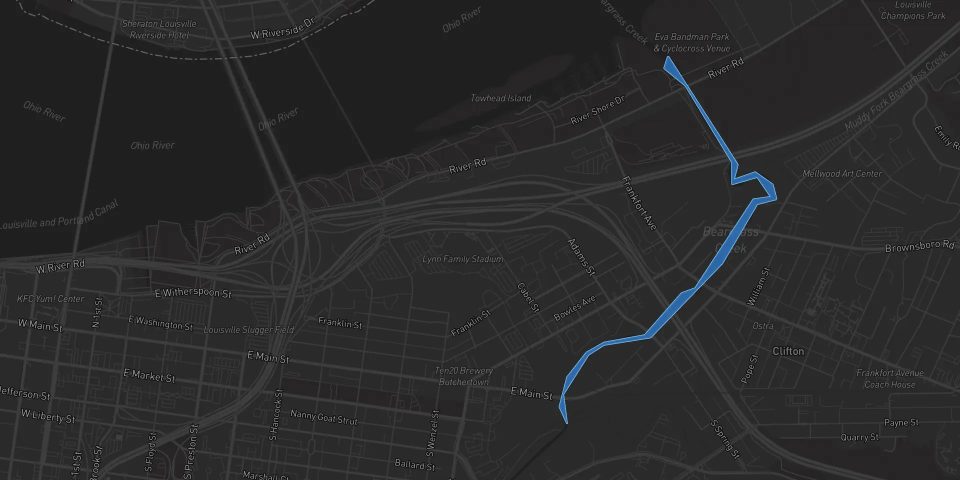
Fishing Beargrass Creek
Beargrass Creek is a freshwater creek in Jefferson County, Kentucky, about 17 acres. No catches are logged here yet. Cobia reads the wind, weather and water temperature here every day and tells you when to be on it.


Beargrass Creek water today
Water level on Beargrass Creek was 8.1 ft at 2:45 AM, from USGS gauge 03293510 (Beargrass Creek at River Road at Louisville, KY). Water temperature on Beargrass Creek was 55°F at 2:45 AM, from USGS gauge 03293510 (Beargrass Creek at River Road at Louisville, KY).
Times are local. Read from USGS gauge 03293510, which sits on Beargrass Creek. The app adds wind, pressure, the solunar windows and a score for the day.
Fish in Beargrass Creek
No catches are logged on Beargrass Creek yet, so Cobia lists no fish here. When anglers log catches in the app, the species they land show up on this page.
Beargrass Creek at a glance
- Type
- Creek
- Water
- Freshwater
- Where
- Jefferson County, Kentucky
- Size
- About 17 acres
- Center
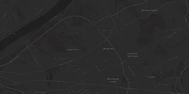
- 38.2617, -85.7166
Stations Cobia reads
Tide predictions, water levels and river flow for Beargrass Creek come from these public stations. Cobia combines them with the wind and weather forecast into one score for the day.
Plan the trip before you launch
Daily briefing
A score for the day out of 100, with the reasons, the best windows and a seven day lookahead.
Read moreTides and solunar
NOAA tide curves and the solunar feeding windows, side by side for the day you pick.
Read moreWater conditions
Water temperature, waves, flow and clarity from the station nearest the water you fish.
Read moreBeargrass Creek questions anglers ask
Water level on Beargrass Creek was 8.1 ft at 2:45 AM, from USGS gauge 03293510 (Beargrass Creek at River Road at Louisville, KY).
No catches are logged in Beargrass Creek yet, so Cobia does not list any fish for it. When anglers log catches here in the app, the species show up on this page.
Beargrass Creek is fresh water.
Beargrass Creek is a creek in Jefferson County, Kentucky, centered near 38.2617, -85.7166.
Not one run by Cobia right now. Anyone can start a free Slam on Beargrass Creek in the app, pick the fish and the dates, and invite friends, a club or a shop.
Not the exact spots. Each angler chooses whether a catch shares the exact spot, a general area or just the name of the water, and no paid tier shows anyone more. Pages like this one show the species and a rounded count, never a spot.
They depend on the species and the season. When you log a catch, Cobia names the species from the photo and shows the slot limit, bag limit and season for that species where you are standing.
Fish Beargrass Creek with a plan
Set Beargrass Creek as home water and wake up to the wind, the weather and the best window, scored for the day.
iPhone with iOS 17 or later, or Android 8.0 or later. Setup takes about a minute.
Map data © Mapbox © OpenStreetMap contributors. Tide and water data from NOAA and USGS.